It Appeared in the Ocean and Could Change Winter in Europe
Scientists are tracking the positive phase of the Indian Ocean Dipole (IOD) which, combined with Super El Niño, could bring a warmer-than-average winter to Europe and North America.
Scientists are tracking the positive phase of the Indian Ocean Dipole (IOD) which, combined with Super El Niño, could bring a warmer-than-average winter to Europe and North America.

As Super El Niño continues to strengthen in the Pacific Ocean, meteorologists have now turned their attention to another climate phenomenon that could significantly impact the upcoming winter. This is the positive phase of the Indian Ocean Dipole (IOD), a phenomenon that, combined with the already active El Niño, could bring unusually warm months to large parts of Europe and North America.
According to a report by the meteorological portal Severe Weather Europe (SWE), measurements already show that the positive phase of the IOD has begun. This phenomenon is characterized by a warmer-than-average western Indian Ocean, while its eastern part becomes cooler. Scientists at the European Centre for Medium-Range Weather Forecasts (ECMWF) are closely monitoring the situation.
Experts forecast that the positive phase of the IOD could last through autumn and early winter. Crucially, the combined impact of the IOD and Super El Niño, which has not yet peaked, will be significantly stronger than when these phenomena occur separately. Together, they alter the movement of air currents that typically steer cold fronts and storms during the winter months.
The effect of this combination is expected as early as November, when a strong rise of warm air above the Pacific Ocean and the western Indian Ocean is expected. At the same time, air will descend over other areas, creating unusual temperature patterns.
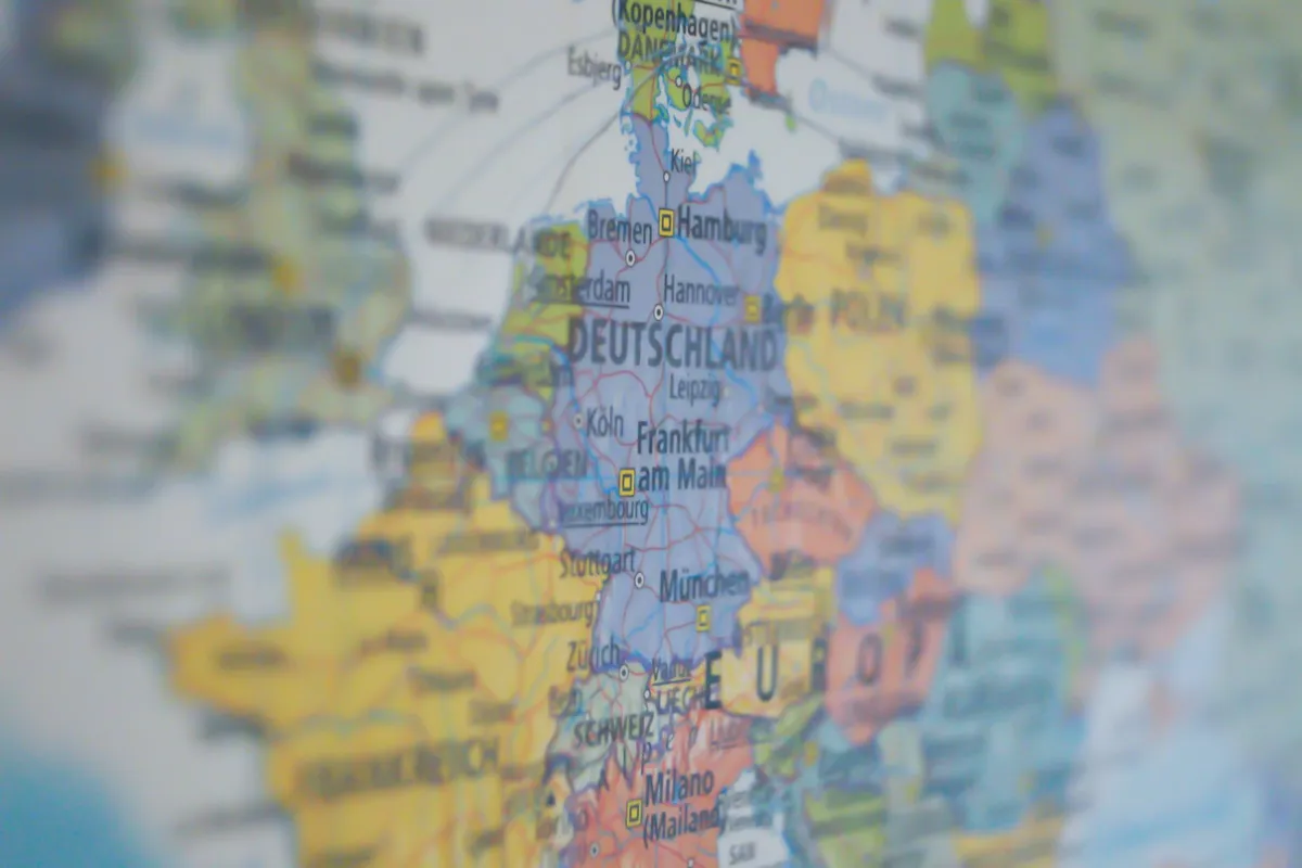
ECMWF's long-range forecasts for Europe confirm a potentially warmer-than-average winter. Low-pressure air could linger over the northwest of the continent, while high-pressure air would prevail over southern Europe. This configuration favors stronger winds from the Atlantic, bringing warmer and more humid air.
According to models, in December, most of Europe, the northern United States, and Canada could see above-average temperatures. In contrast, the southern and southeastern U.S. would face colder weather due to intrusions of cold air and more frequent storms.
"This is the weather we can expect in December," SWE says, adding that occasional cold air intrusions are not ruled out. They are especially possible in Ireland and Britain. At the same time, a stronger influx of moist air from the Atlantic could bring more rain to western and northern parts of Europe.
For winter enthusiasts, the best chances of heavy snow are in northern and northeastern Europe, as well as mountainous areas in the central part of the continent. In other parts of Europe, snowfall will largely depend on individual cold air intrusions, which could be less frequent than usual.