Brief Cooldown in Forecast Only for the North
Meteorologist Bojan Lipovšćak announces a weather change for the northwestern regions, but real relief is not expected for at least another ten days.
Meteorologist Bojan Lipovšćak announces a weather change for the northwestern regions, but real relief is not expected for at least another ten days.
Croatia is at the peak of a heatwave that has brought exceptionally high nighttime temperatures. On the Adriatic and along the coast, thermometers have not dropped below 30°C, while inland values were mostly above 21°C. In Zagreb, the Maksimir station recorded a sultry tropical night with a minimum temperature of around 28°C and 50 percent relative humidity.
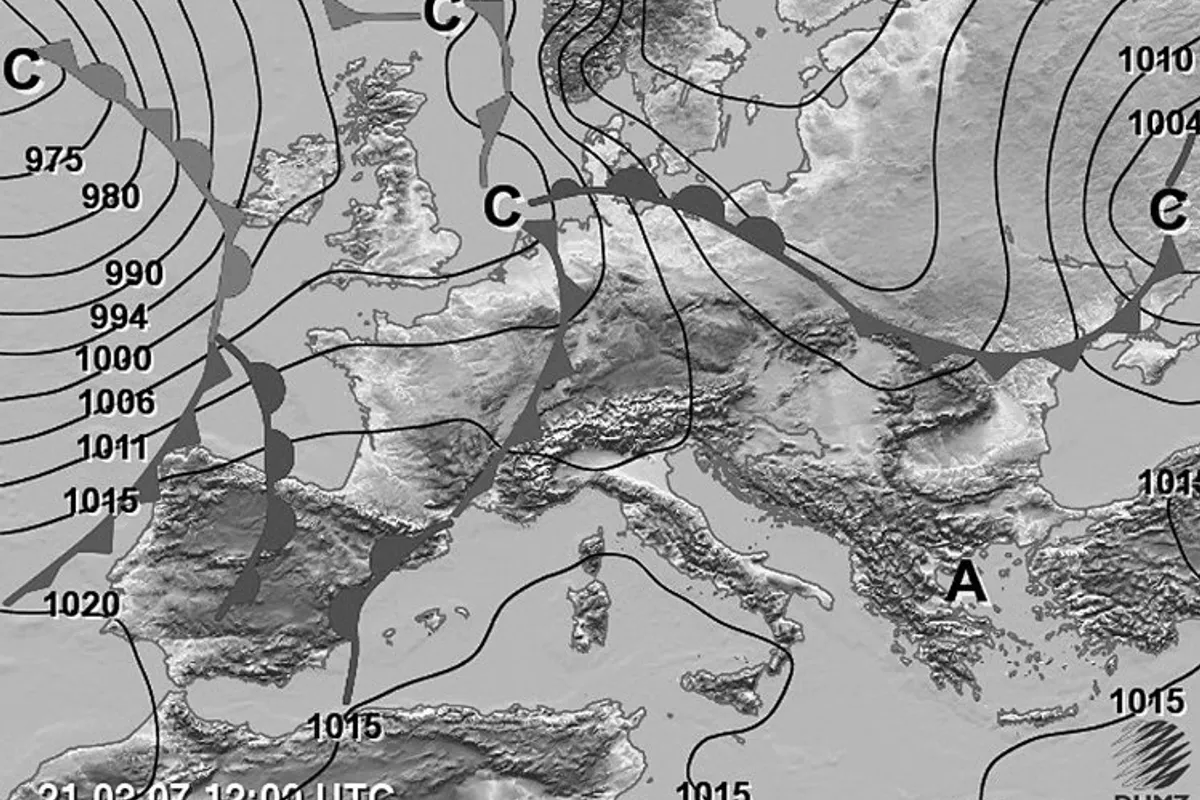
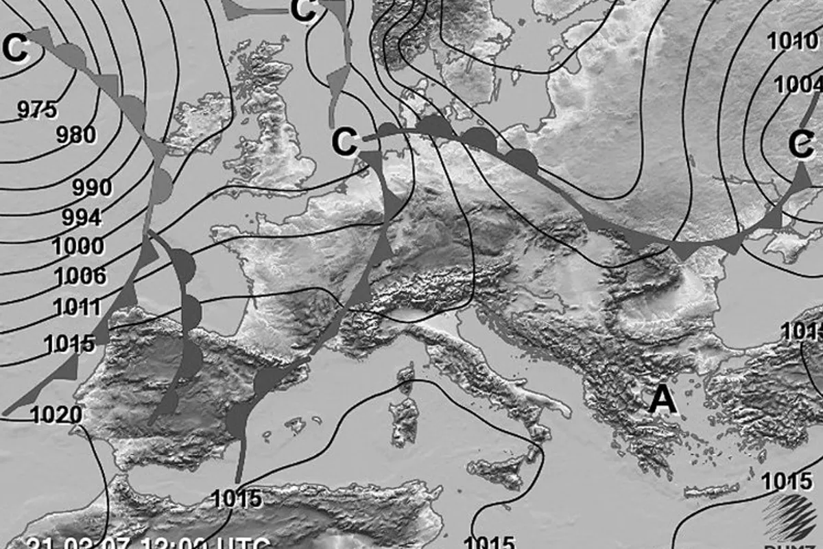
According to meteorologist Bojan Lipovšćak's forecast, a weather change is expected today, but it will be limited in scope. The passage of a weakened cold front north of the Alps will bring cloud cover and instability to the northwestern inland regions and the northern Adriatic.
Unstable weather with thunderstorms and gusty winds is expected as early as mid-morning in Istria, Kvarner, and Gorski Kotar. During the day, showers will spread eastward and by evening affect a large part of the interior. On the northern Adriatic, a strong bora wind will blow, with gusts reaching storm force along the Velebit coast.
Cooler air will push southward only up to the orographic barrier of the Dinarides. This means that the central and southern Adriatic will remain hot and sunny, and the heatwave will continue. Maximum daily temperatures in Dalmatia, Slavonia, Baranja, and Srijem will range from 34 to 39°C, while in the northwestern inland regions they will be slightly lower, from 29 to 33°C.
Tomorrow, on Saturday, the weather will be partly cloudy and unstable. In the interior, light rain is expected in the morning, with thunderstorms developing in places during the day as cloud cover builds. The bora will slowly shift from the northern Adriatic toward the central Adriatic, and along the Velebit coast, locally stormy gusts of up to 100 km/h are possible. The central and southern Adriatic will remain mostly sunny and hot.
Morning temperatures inland will drop to a more comfortable 14 to 18°C. On the Adriatic, the night will remain warm with temperatures around 23°C, and in places, due to the föhn effect of the bora, up to 29°C. Maximum daily temperatures inland will be around 29°C, and on the Adriatic from 30 to 36°C. The sea temperature is between 26 and 28°C.
According to numerical model calculations, this push of cooler air will only briefly cool the atmosphere inland. Already from Sunday, temperatures are expected to rise again, and the heatwave will continue. A real, stronger cooldown from the north is likely only in 10 to 13 days.
DHMZ has kept warnings in place via the Meteoalarm system. A red heat alert is active for the Rijeka, Split, and Dubrovnik regions, while yellow and orange warnings have been issued for the bora on the northern Adriatic. Due to strong winds on the central and southern Adriatic, where a sharp lebić wind will blow, caution is advised for maritime activities, and the UV index is high to very high.