DHMZ Orange Alert: Severe Weather Approaching Two Croatian Regions
Genoa Cyclone Brings Sudden Weather Changes Across Croatia. Thunderstorms with Strong Winds, Heavy Rain, and Hail Threaten.
Genoa Cyclone Brings Sudden Weather Changes Across Croatia. Thunderstorms with Strong Winds, Heavy Rain, and Hail Threaten.
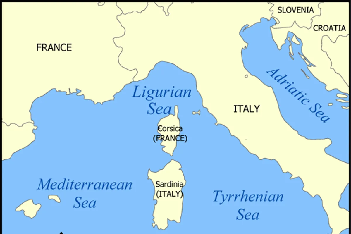
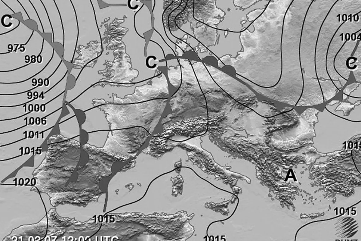
The State Hydrometeorological Institute (DHMZ) has issued an orange warning for the Knin and Rijeka regions due to expected thunderstorms with strong winds, heavy rain, and hail. Meanwhile, yellow alerts for wind and storms are in effect for most of the rest of Croatia. The cause of these sudden changes is a Genoa cyclone, formed over the Gulf of Genoa, which has brought a small amount of unstable air from the Atlantic.
According to data reported by N1 Croatia, citing meteorological forecasts, the cyclone began affecting Croatian territory on Sunday, July 26, bringing increased cloud cover from the west and a shift in winds to southwest and south directions. Cold and unstable air, in the form of an instability line, is moving rapidly along the Adriatic, causing localized heavy thundery showers and sudden changes in wind direction and strength. These phenomena are most pronounced in the Adriatic and coastal areas, where local storms with gale-force gusts are possible.
DHMZ has issued an orange warning for the Knin and Rijeka regions, indicating the possibility of dangerous weather conditions that could cause damage. Other parts of the country are under yellow warnings for wind and thunderstorms, requiring increased caution. Showers and thunderstorms are expected first in the northern Adriatic and mountainous regions, then spreading southward.
On the mainland, a moderate southwest wind is blowing, which may be temporarily strong in the mountains. On the Adriatic, the southerly wind (jugo) is moderate to strong, occasionally stormy, but it is expected to weaken by the end of the day and during the night into Monday. Today's maximum daily temperatures range from 26 to 31°C, while in mountainous areas they are around 21°C.
For Monday, July 27, the forecast predicts a gradual stabilization of the weather, especially in the afternoon and evening. Partly sunny conditions with variable cloudiness are expected. During the night and morning, rain and showers are possible in the southern Adriatic, and during the day, local showers with moderate cloud development are expected inland. In Slavonia, Baranja, and Srijem, a weak to moderate northwest wind will blow, while on the Adriatic, the southerly wind will weaken and turn to a maestral (northwest breeze). Morning temperatures on the mainland will range from 15 to 19°C, around 10°C in the mountains, and 19 to 24°C at the sea, with possible fog in valleys and basins. The highest daily temperature on Monday is expected to be between 27 and 32°C.
From Tuesday, July 28, an anticyclone will strengthen, bringing stabilization of the weather and a rise in temperatures both inland and at the sea. According to current forecast models, a stable and sunny period should last until the end of July, as well as throughout the entire first week of August. The sea temperature ranges from 25 to 27°C, and the UV index is high. DHMZ also warns of continued drought, falling river levels, and the spread of fire risk from the Adriatic toward the interior.