Today, July 26, 2026, Stari Grad on Hvar faced a sudden meteotsunami. Around 1:30 PM, the sea rose approximately 40 centimeters above average, flooding the waterfront and entering hospitality venues. The sea level quickly returned afterward, with a total oscillation reaching about 55 centimeters, as reported by Dalmacija Danas. Strong squalls appeared on the open sea but weakened before reaching the coast.
DHMZ and Estofex Warnings for the Adriatic
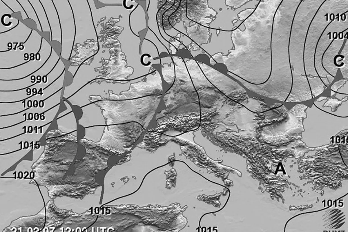
DHMZ declared an orange warning for the coastal area, and Estofex issued a level 2 warning for the Croatian part of the Adriatic. During the morning and afternoon, a moderate to strong southerly wind (jugo) blew, with occasional storm gusts up to 70 kilometers per hour. By 2:30 PM, the highest rainfall was recorded in Vodice with nine liters per square meter, while Pula had eight liters per square meter.
Strongest Deterioration Expected Late Afternoon
Forecasts indicate the strongest weather deterioration late in the afternoon and evening. Precipitation will be highly uneven: some areas will see no rain, while locally 10 to 30 liters per square meter may fall in a short time, with the possibility of severe squalls. Thunderstorms, strong wind gusts, and possible hail are expected. From Monday, July 27, stabilization and a gradual temperature increase will follow.
Brač Firefighting Forces on Highest Alert
The mayor of Supetar warned of an increased fire risk due to the arrival of strong southerly winds and the possibility of thunderstorms. She expressed hope that the storm would bypass the island or only marginally affect it, but emphasized that all firefighting forces of the Brač Firefighting Operational Area are on the highest level of readiness and prepared for emergency interventions. She called on residents and tourists to exercise extra caution and asked them to immediately report any fire or suspicion of one to firefighters at 193.
Uneven Temperatures Across Croatia
Temperatures today varied significantly among regions. Slavonia was the warmest with temperatures up to 33 degrees Celsius, while in Lika, Gorski Kotar, and parts of Dalmatia, temperatures ranged from 21 to 23 degrees Celsius, about ten degrees lower than the previous day. On the mainland, a weak to moderate southwest wind blows, temporarily strengthening with instability. On the Adriatic, moderate to strong, occasionally stormy southerly winds are expected, with southwest and northwest winds in the north in the evening, weakening overnight.
What Is a Meteotsunami?
A meteotsunami is a phenomenon of sudden sea level changes caused by atmospheric disturbances, such as rapid pressure changes or strong storm systems, not by earthquakes as with classic tsunamis. In the Adriatic, this phenomenon occurs rarely but is not unknown, and it is especially pronounced in combination with strong southerly winds and sudden storms. Sea level oscillations can be strong enough to flood coastal areas and seaside hospitality venues, as happened today in Stari Grad.