NASA's Geoid Model: Why Earth Isn't a Perfect Sphere
The geoid model, based on over a billion measurements, reveals that our planet is not a perfect sphere but has an irregular, potato-like shape.
The geoid model, based on over a billion measurements, reveals that our planet is not a perfect sphere but has an irregular, potato-like shape.
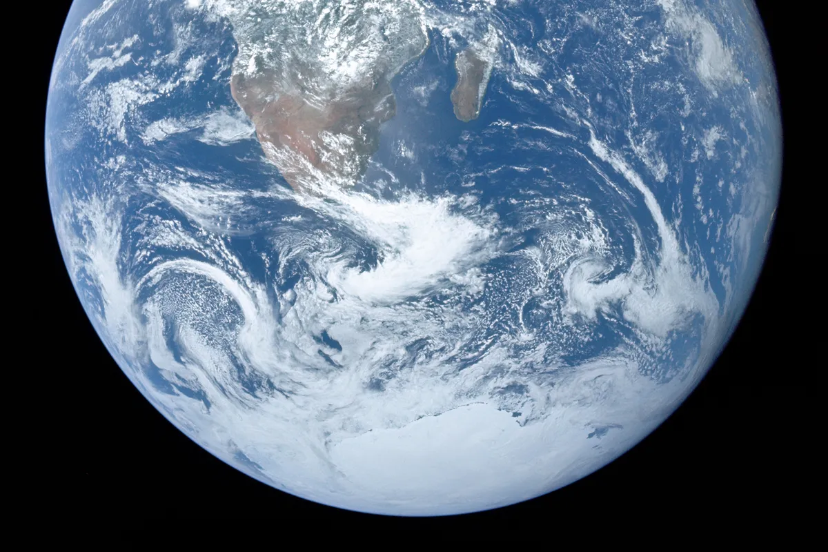
At different locations on Earth, the gravitational force is not uniform, and this unevenness also affects the actual shape of our planet. According to Euronews, NASA presented a visualization this summer that clearly illustrates these global differences.
The geoid refers to a mathematical model that shows what shape Earth would have if it were shaped only by gravity and rotation. If all external influences such as tides, winds, and currents were removed from the oceans, their surface would not be perfectly spherical but would have slight depressions and bulges.
NASA's visualization exaggerates these variations by a factor of 10,000, making Earth look like an irregular potato in the image. In fact, the model represents a hypothetical global sea level that extends beneath the continents, and it is important to note that this is not the actual physical shape of Earth's surface.
Our planet's gravitational field is not uniform because mass is not evenly distributed. It is influenced by mountain ranges, ocean trenches, as well as differences in the density of materials deep within Earth. Regions with more mass attract water more strongly, creating bulges on the geoid model. Conversely, where gravity is weaker, the theoretical sea level is lower, resulting in depressions.
Although the height differences in the visualization are exaggerated, the actual range between the highest and lowest points of the geoid is 191 meters. The highest point is near Iceland, at 85 meters above the reference level, while the lowest point is south of India, where it is 106 meters below that level. The reference level represents an idealized mathematical model of Earth used as a zero point for measuring deviations.
To create the model, more than a billion measurements were used, collected over 15 years from 19 different satellites. The project included, among others, NASA's GRACE mission and the GOCE satellite belonging to the European Space Agency.
The geoid is used by scientists to monitor changes in Earth's gravitational field, which occur due to the movement of water, ice, and solid mass. NASA emphasizes that these data are crucial for precise mapping, geodetic measurements, and modern navigation.