Powerful 7.4-Magnitude Earthquake Strikes Colombia
The epicenter was in the west of the country, and the tremors rattled residents of the capital Bogotá and Medellín. No reports of damage so far.
The epicenter was in the west of the country, and the tremors rattled residents of the capital Bogotá and Medellín. No reports of damage so far.

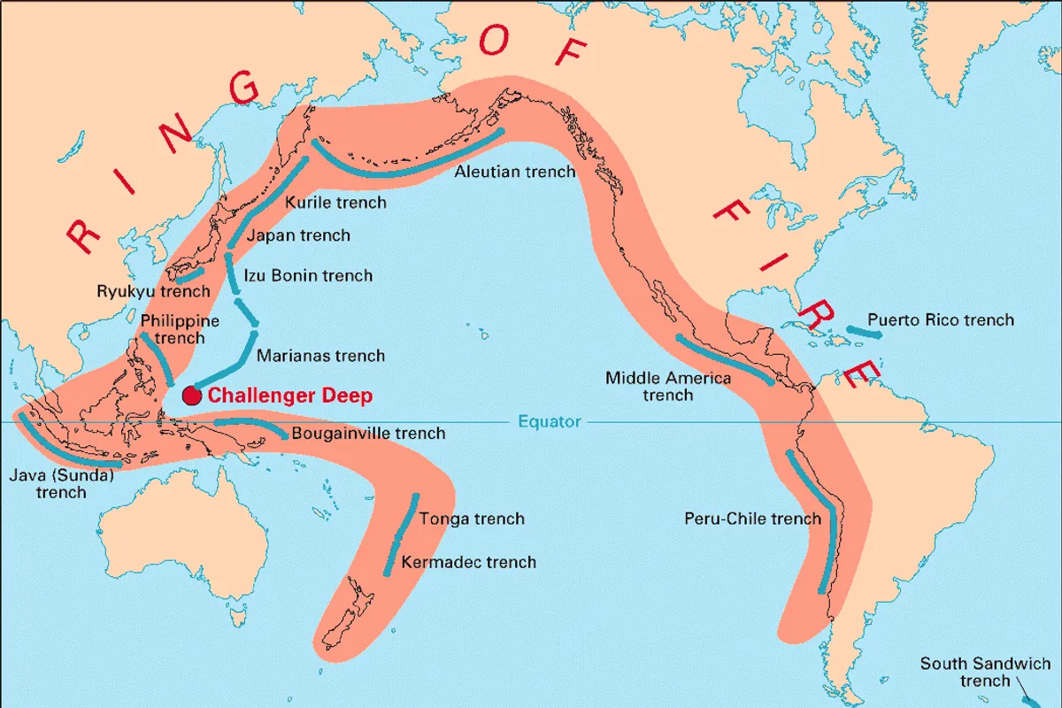
A powerful earthquake with a magnitude of 7.4, according to the U.S. Geological Survey (USGS) and the Euro-Mediterranean Seismological Center (EMSC), struck Colombia on Monday, August 10, 2026. The tremors were felt in the capital Bogotá, as well as in other parts of the country, including Medellín, and even as far as the border with Venezuela. According to witnesses cited by Reuters, the earthquake was felt even in neighboring countries, Venezuela and Ecuador, hundreds of kilometers from the epicenter.
Data on the earthquake's strength varies among seismological agencies. While the USGS and EMSC record a magnitude of 7.4, the Colombian Geological Service reported a magnitude of 6.6. The EMSC initially reported a magnitude of 7.1, then revised it to 6.8, and finally published a value of 7.4. Some sources, such as WarFront Witness, also cite a magnitude of 6.8.
There are also differences in the data on the earthquake's depth. According to the USGS, the earthquake occurred at a depth of 107 kilometers, while the EMSC lists a depth of 99 kilometers. France's Le Figaro, citing the EMSC, reports a depth of 115 kilometers. The epicenter was located in western Colombia, about 160 kilometers from Bogotá and 110 kilometers from Medellín. According to more precise coordinates from the EMSC, it was situated about 35 kilometers west-northwest of Cartago and approximately 12 kilometers north of El Cairo. The Colombian Geological Service (SGC) specified that the epicenter was in the municipality of San José del Palmar in the Chocó department, at coordinates 5.04° north latitude and 76.34° west longitude, and it was recorded by 32 seismological stations. According to the SGC, the earthquake occurred at a depth of 96 kilometers, while Colombia's National Unit for Disaster Risk Management (UNGRD) reported a magnitude of 6.6 and a depth of 79 kilometers. The UNGRD stated via a post on X that it is in communication with local authorities to check for possible damage.
As reported by Reuters, citing witnesses, the earthquake was strongly felt in Bogotá. Videos circulating on social media on Monday show earthquake sirens sounding in the city. Testimonies from citizens on the EMSC platform reveal the extent of the alarm: one resident of Medellín, about 170 kilometers from the epicenter, wrote: "It was strongly felt, everything was moving," while another user from Envigado, about 160 kilometers from the epicenter, confirmed strong shaking. From Bogotá, more than 230 kilometers from the epicenter, a report came in: "In Bogotá, it was felt very strongly." The earthquake was also felt in much more distant areas – from Puerto Concordia, more than 460 kilometers away, a resident reported that "everything was moving," and tremors were also reported by citizens from Corderos in Venezuela, about 550 kilometers from the epicenter, where a "long-lasting earthquake" was recorded, and even from Maracaibo, about 820 kilometers away. Light shaking was also felt in the greater Quito area in Ecuador, more than 600 kilometers from the epicenter. The earthquake occurred in the morning hours, exactly at 7:34 a.m. local time, and the shaking was felt in numerous regions, including Bogotá, Eje Cafetero, Tolima, Huila, Valle del Cauca, Manizales, and Medellín. The cities closest to the epicenter were San José del Palmar at 20 kilometers, Río Iró at 22 kilometers, and Nóvita at 32 kilometers. Despite the strong shaking, as of the latest update, there were no official reports of material damage or injuries.