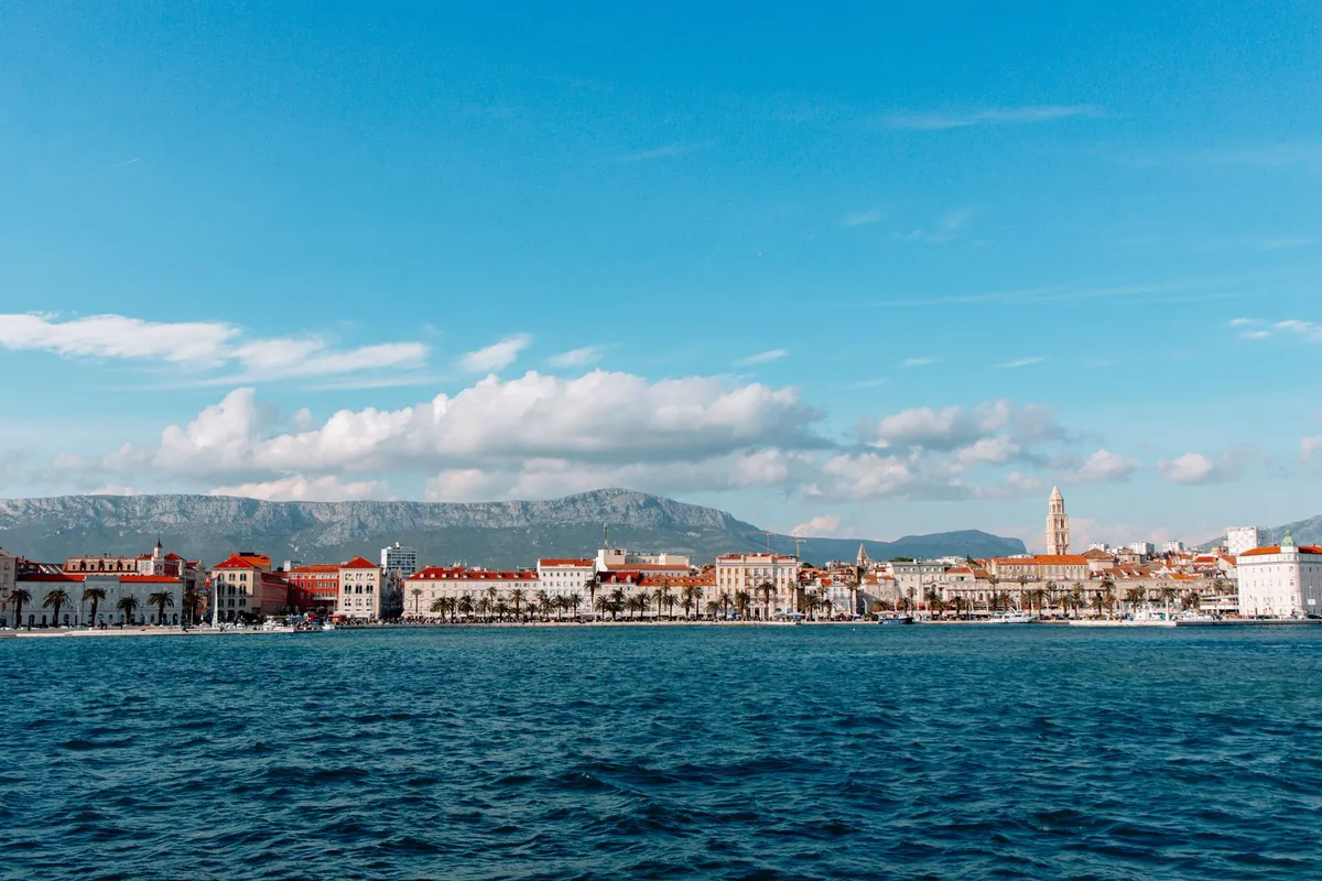
Split will reach a maximum daily temperature of 37.9 degrees Celsius on Wednesday, August 12, 2026, with the heat index peaking at 39.1 degrees during the hottest part of the day, according to data from Stijena.info. This scorching day follows an exceptionally warm night with no real relief, further straining residents and tourists alike.
Tuesday: A Prelude to Extreme Heat
The uncomfortable weather conditions began as early as Tuesday. At 4 a.m., the temperature measured 26.9 degrees, with a heat index of 28.8 degrees. Nighttime cooling was completely absent, and rapid warming continued from the early morning hours. By 8 a.m., the temperature had reached 30.3 degrees, and an hour later, it climbed to 32.1 degrees.
The highest daily temperature on Tuesday was 33.5 degrees around noon and early afternoon. Due to the combination of heat and relative humidity, which stood at 54 percent in the morning, the heat index rose to approximately 36.9 degrees by 2 p.m. Winds were light in the morning, blowing at 3.6 kilometers per hour, but could strengthen to 12 kilometers per hour in the afternoon. The chance of precipitation was only five percent.
Evening Brings No Relief: Temperatures Rise After Sunset
After sunset at 8:04 p.m., temperatures did not behave as usual. Around 6 p.m., there was a brief dip to 30.7 degrees, but by 10 p.m., it had risen to 32.4 degrees, and by 11 p.m., it reached 32.7 degrees. This pattern means Split enters the forecast of 38 degrees without any significant cooling overnight, increasing the thermal load on the body and preventing indoor spaces from cooling down.
Wednesday: The Peak of the Heatwave
The most intense heat arrives on Wednesday. Even the minimum daily temperature will be a high 31.2 degrees. The peak is expected around 1 p.m. with 37.9 degrees, accompanied by a heat index of 39.1 degrees. Morning winds will gradually pick up, reaching nearly 17 kilometers per hour by mid-morning. More clouds are expected in the afternoon, with the chance of precipitation rising to 20 percent, but most of the day will remain dry.
The highest UV index on Tuesday was 7.1, and similar values are expected on Wednesday. Residents and visitors are advised to avoid prolonged exposure to direct sunlight, stay well-hydrated, and pay extra attention to children, the elderly, and those with chronic conditions. The best time for outdoor activities is the early morning, as temperatures already exceed 30 degrees by mid-morning.
Slow Cooling After the Peak
Even after the daily peak, no rapid relief is expected. Around 11 p.m. on Wednesday, temperatures will still hold above 31 degrees. The sun rose at 5:54 a.m. on Tuesday and sets at 8:04 p.m., making the period of daytime heat exceptionally long, especially on city streets and surfaces exposed to direct sunlight.
Gradual Easing from Thursday
A moderate decline in maximum temperatures begins on Thursday, with a forecast of up to 36 degrees. On Friday, the high is expected to be 34.1 degrees, and over the weekend, temperatures will hover around 34 degrees. Nighttime lows will gradually drop, from 28.7 degrees on Thursday to a more comfortable 23.3 degrees by Sunday. While Wednesday brings the most challenging conditions, the rest of the week should be somewhat more bearable, with predominantly sunny skies and occasional cloud cover.